

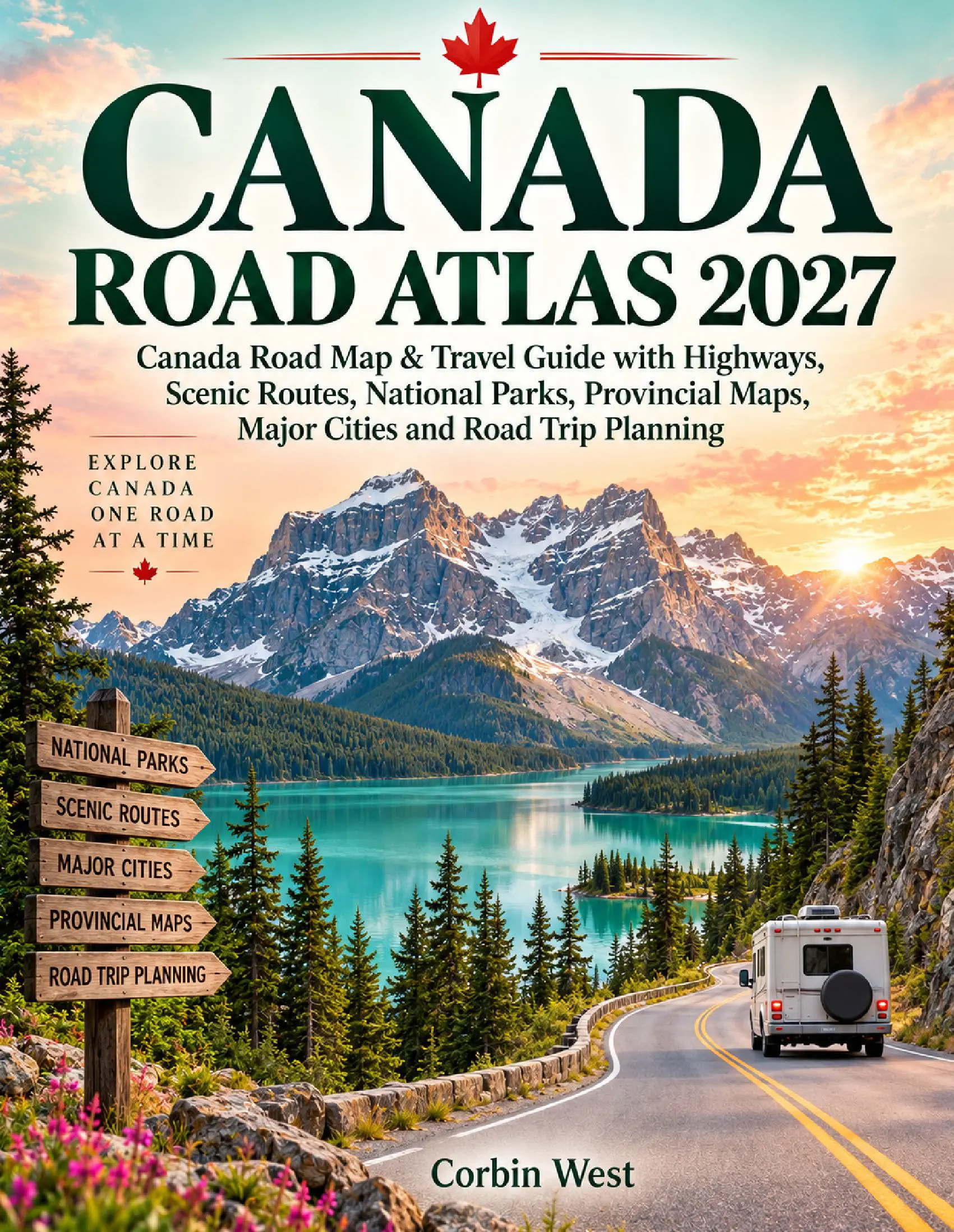
Description
Ready to discover Canada one unforgettable road at a time?
From the towering Canadian Rockies and turquoise mountain lakes to Atlantic coastlines, Great Lakes highways, open Prairie roads, and legendary northern routes, Canada Road Atlas 2027 is designed for travelers who want to explore Canada with greater confidence, freedom, and purpose.
Whether you are planning a weekend escape, a national parks adventure, an RV journey, a scenic driving vacation, or an epic coast-to-coast road trip, this practical travel companion helps you understand the roads ahead and build a journey that matches your time, interests, and travel style.
Travel through British Columbia and the Sea to Sky Highway, explore Banff, Lake Louise, Jasper, and the Icefields Parkway, cross the sweeping landscapes of Saskatchewan and Manitoba, follow the shores of the Great Lakes, experience Quebec and the St. Lawrence River, and continue toward the unforgettable coastal roads of New Brunswick, Nova Scotia, Prince Edward Island, and Newfoundland.
For travelers seeking something even more adventurous, the guide continues north toward Yukon, the Alaska Highway, the Dempster Highway, Inuvik, and Tuktoyaktuk, with practical guidance for long distances, remote services, changing road conditions, and offline navigation.
Inside, you will discover guidance for:
• Major Canadian highways and provincial road networks
• Scenic drives and unforgettable road trip routes
• Banff, Jasper, Yoho, Kootenay, Gros Morne, Fundy, Cape Breton Highlands, and other national parks
• The Trans Canada Highway and cross-country travel
• British Columbia, Alberta, Saskatchewan, Manitoba, Ontario, Quebec, and Atlantic Canada
• Vancouver, Calgary, Toronto, Ottawa, Montreal, Quebec City, Halifax, and other major cities
• The Icefields Parkway, Sea to Sky Highway, Cabot Trail, Gaspé Peninsula, Viking Trail, and Dempster Highway
• Fuel stops, lodging, ferries, weather, seasonal driving, and remote-road preparation
• Paper maps, offline navigation, and traveling beyond GPS
• One-week scenic routes, two-week regional journeys, and extended coast-to-coast adventures
Rather than simply telling you where to go, Canada Road Atlas 2027 helps you understand how Canada’s roads connect and how to turn those highways into rewarding travel experiences.
Spend less time worrying about the route and more time enjoying the mountains, lakes, forests, cities, coastlines, and wide-open roads that make Canada one of the world’s great driving destinations.
Pack the vehicle, open the map, choose your road, and discover how much of Canada is still waiting beyond the next highway sign.





Reviews
There are no reviews yet.